Start point
Burnt Rancheria
End point
1 mile NOBO of Oriflamme Creek, trail mile 56
Miles hiked
14.5
Wilderness area
Cleveland National Forest, Anza Borrego State Park
The day on trail
Hi it’s your favorite singsong trail hiking dingdong and I did the bravest thing ever today. But more on that later.
I woke up this morning to Craig and Larry making coffee, and they took off around 7. I took my time getting up, ended up finding the hip belt to my backpack is starting to break and having to cajole Gregory Packs to expedite a new pack to me to Warner Springs. I’ve had hip belt problems with them and I’m pretty over it. So I guess I’m in the market for a new pack once the replacement inevitably fails.
Lame.
Today was similar to yesterday. Slush. Wind. Less rain, though!
It’s funny. You think of Southern California as a toasty warm paradise and the high desert as hot, dry, and almost just one note. This year though is anything but. It started off with two or three days of beautiful, sunny, 60°F (15°C). Now it’s windy, cold, and 35°F (2°C). It’s so cold my olive oil solidified. I’m sure the TSA would still count it as a liquid. But damn.
The precipitation is painful when it comes. It’s sharp, biting, horizontal snow. But not flakes. Little ninja stars of ice. It stings the skin and the eyes. The mud is slippery. The snow is too slushy for micro spikes. Every step that isn’t on rock or gravel needs to be cautious. And we’re not even 60 miles in.
Sun is predicted later tomorrow and the following days. Blessed sun. I’m so excited.
So I started by Burnt Rancheria and grabbed a couple chocolate croissants to go from the bakery right by the hostel. I figured I had a late start and the weather wasn’t conducive to breaks, so I would just hike through it all. I think I ended up with like 8 hours of hiking today. But yeah, I just stocked up on calories with a hikertrash breakfast at the hostel and croissants and just plowed through the day.
Honestly it just feels good to walk. And walk. And walk.
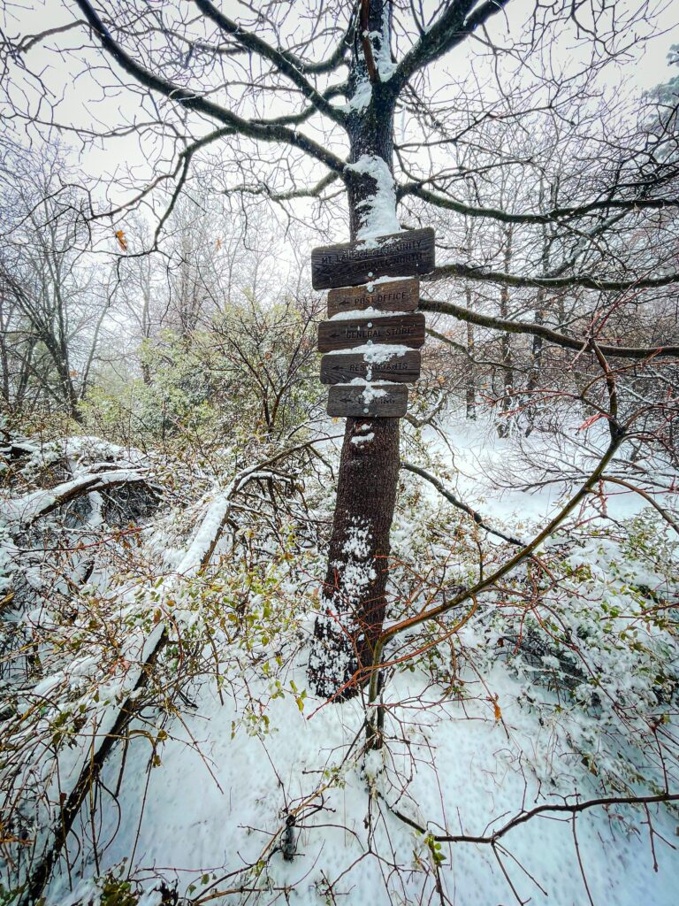
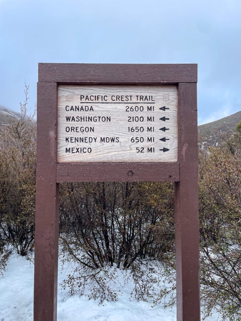
I started off coming to this directional sign. My old friend.
A little up was this water spout.
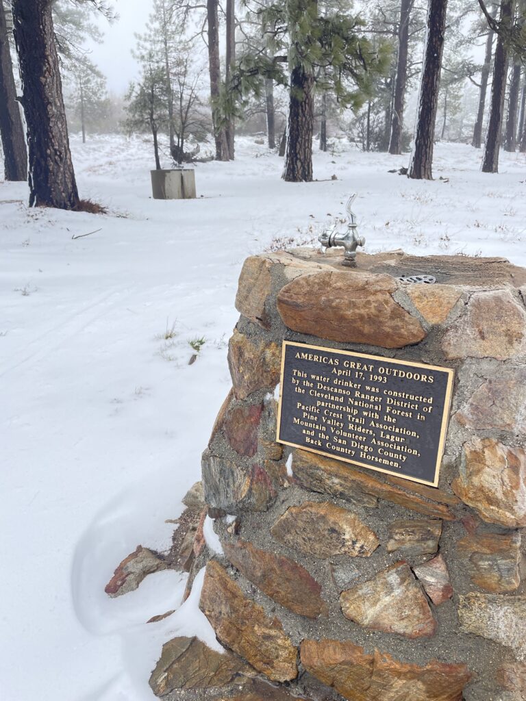
It was teasing with nice weather and just leftover slush at this point, around 11 am (again, late start).
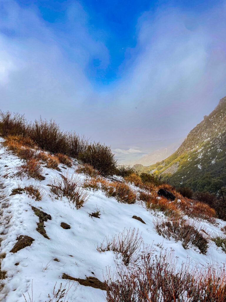

But then it turned. As it seems wont to do this week.
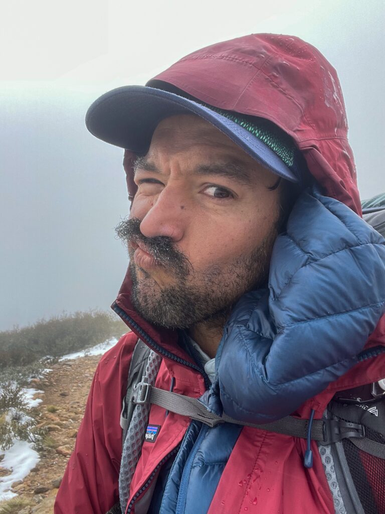
At this point on trail there’s about 13 miles where you can’t camp anywhere there isn’t a developed campground. My goal was to get through there, a little past, and set up camp. So it was just walking onward and onward until I was out of the Laguna Recreational Area.
This sign gave me joy!
There were some people camping near here. There’s some day use spots that are closed down, and with flowing water and bathrooms, they’re hard to pass up. But they weren’t my goal.
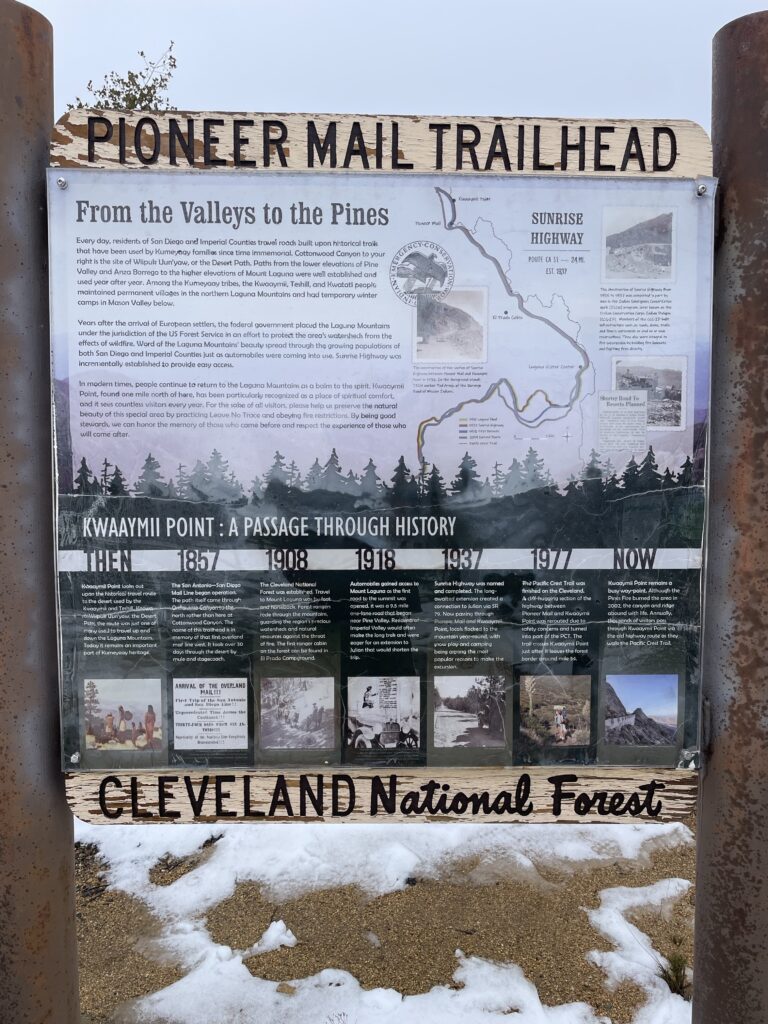
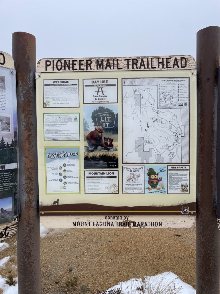
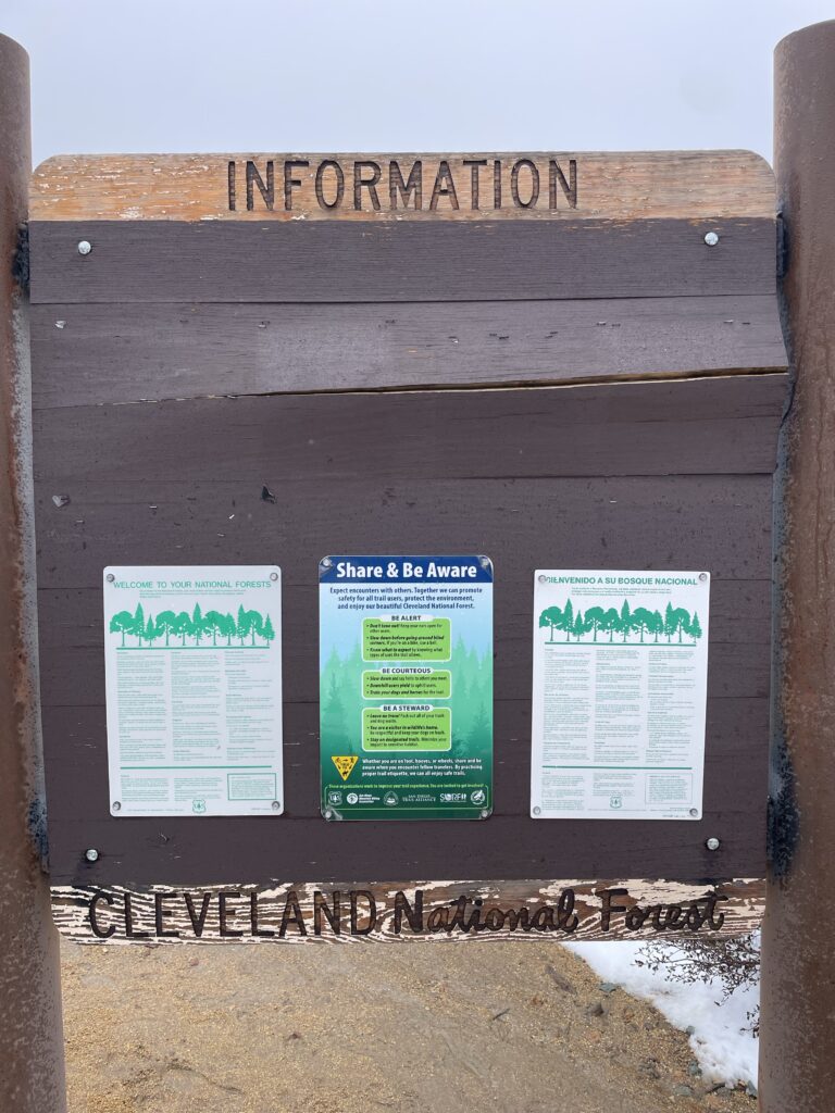
These let me know I was through the area and into a new one! It’s like crossing from one state to another, but actually nothing like it. You know I love an informational sign.
Okay this is where I got brave. See, I struggle with exposure (not like that you deviant). Heights give me the willies terribly. And this part was about 1/3 mile with just a 3,000’ drop to the side of 18” trail that was mostly covered in snow.
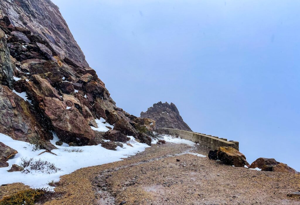
As I hiked it I just repeated to myself “it’s worse in your head than under your feet”. Luckily, the mountain on the left buffered the wind because, as I was approaching that spot the wind was terrible.
I should talk about the wind. Today it’s not like a wind that blows. It whips. It’s violent. It assaults you. It throws things at you. It throws you. So having respite from the wind so I can focus on my footing was so, so nice.
There were these interesting memorials out here.
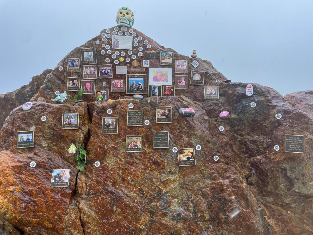
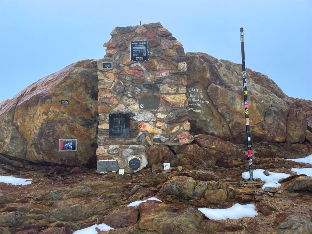
There were some campsites after that, though they were taken. FarOut (my trail app) said there were some sites a mile onward, and, indeed there were. After a quick dinner of quinoa and TVP, here I am typing this up.
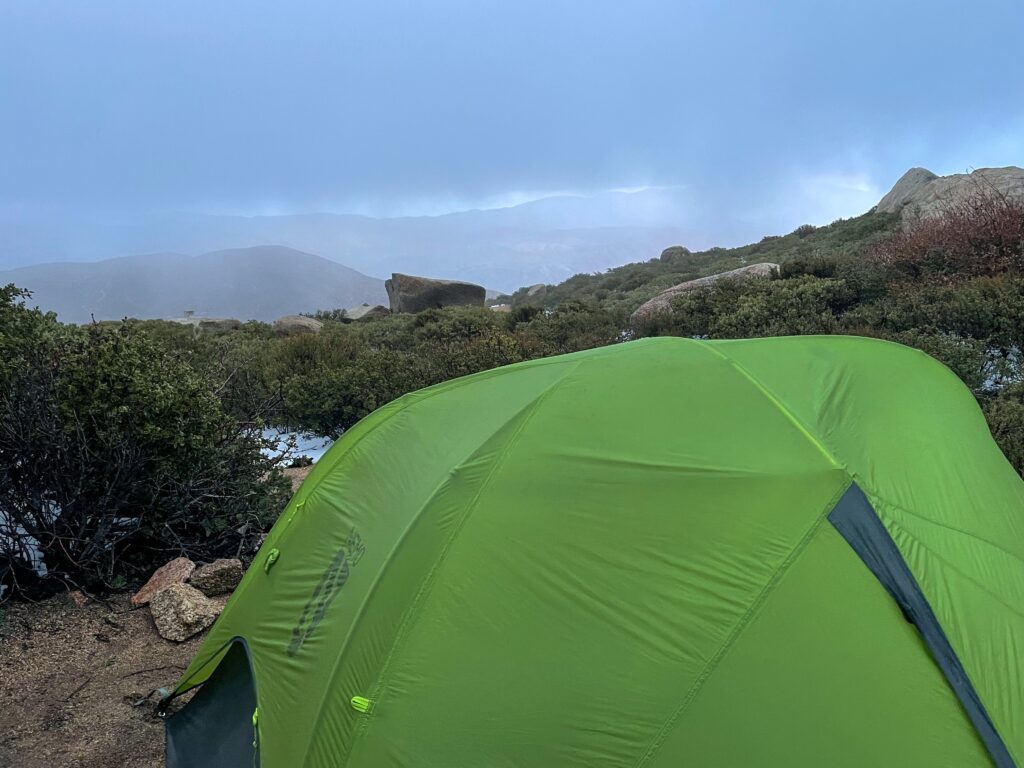
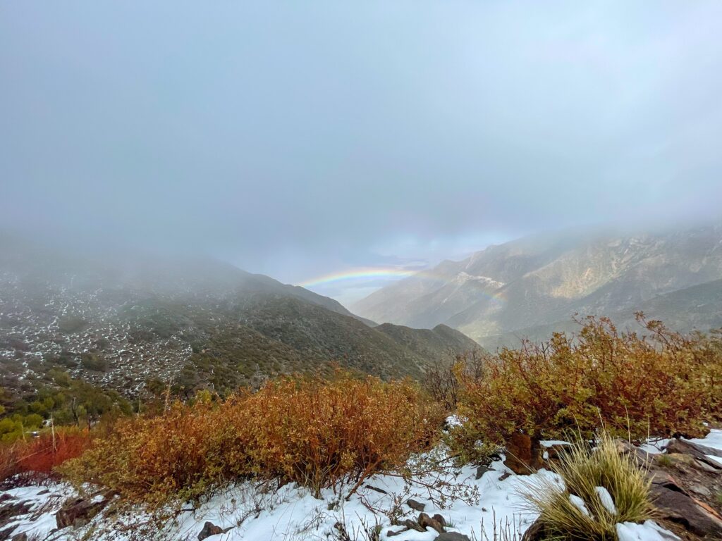
If you’ve read this far you deserve this bonus picture of a rainbow. Thank you. ❤️

Keep it up!
Thank you!
Okay, the wind is just crazy. Those little biting snowflakes of ice? We have those back East and I’m sorry you had to experience them. They suck. I love love love that picture of the rainbow, though. It’s beautiful. I confess I really DO think of southern CA as pretty one-note, weather wise… your journey thus far has totally proven me wrong! You did SO MUCH walking today… and your silly hip-belt issues can go suck it… but it does beg the question: will you go back to Deuter!?!? 😂😂 We can match again!
I would be lying if I said I wasn’t thinking of Deuter! It depends on the weight really.
I’m glad you’re getting an idea of the high desert!
Yeah, cos I totally don’t mind having some fan-girl moments over our Deuters on future backpacking trips. 😜 High desert is bonkers and people who aren’t from the area don’t know how to do it justice when they talk about it!
I’m not too afraid of heights but those sheer drops on mountain trails make me nauseous. It would be all too easy to slip and die. I say bravo for being brave!
Wait til you see today’s post…there were chunks of trail missing!
OMG, I’m so proud of you!!!
I absolutely understand the height thing, I get it too.
I love the mantra you came up with, and will probably use it myself, it’s quite versatile.
I look forward to your daily updates and am super happy to “travel” with you.
You’re doing an excellent job, and are inspiring me to do something too. I don’t know what, but you make me feel like I can do it too… whatever it is. ❤️
Thank you!!
Go get what you want!